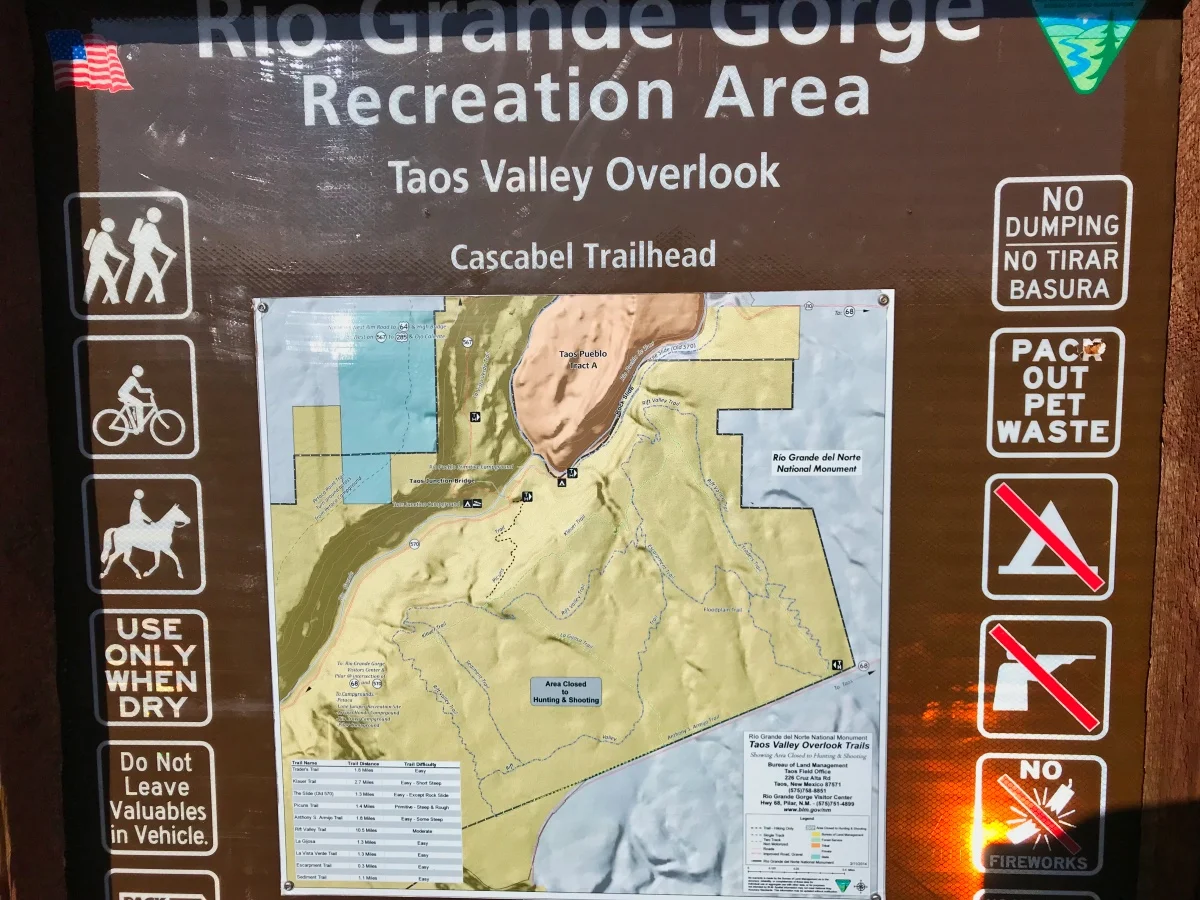
Descending into the Gorge
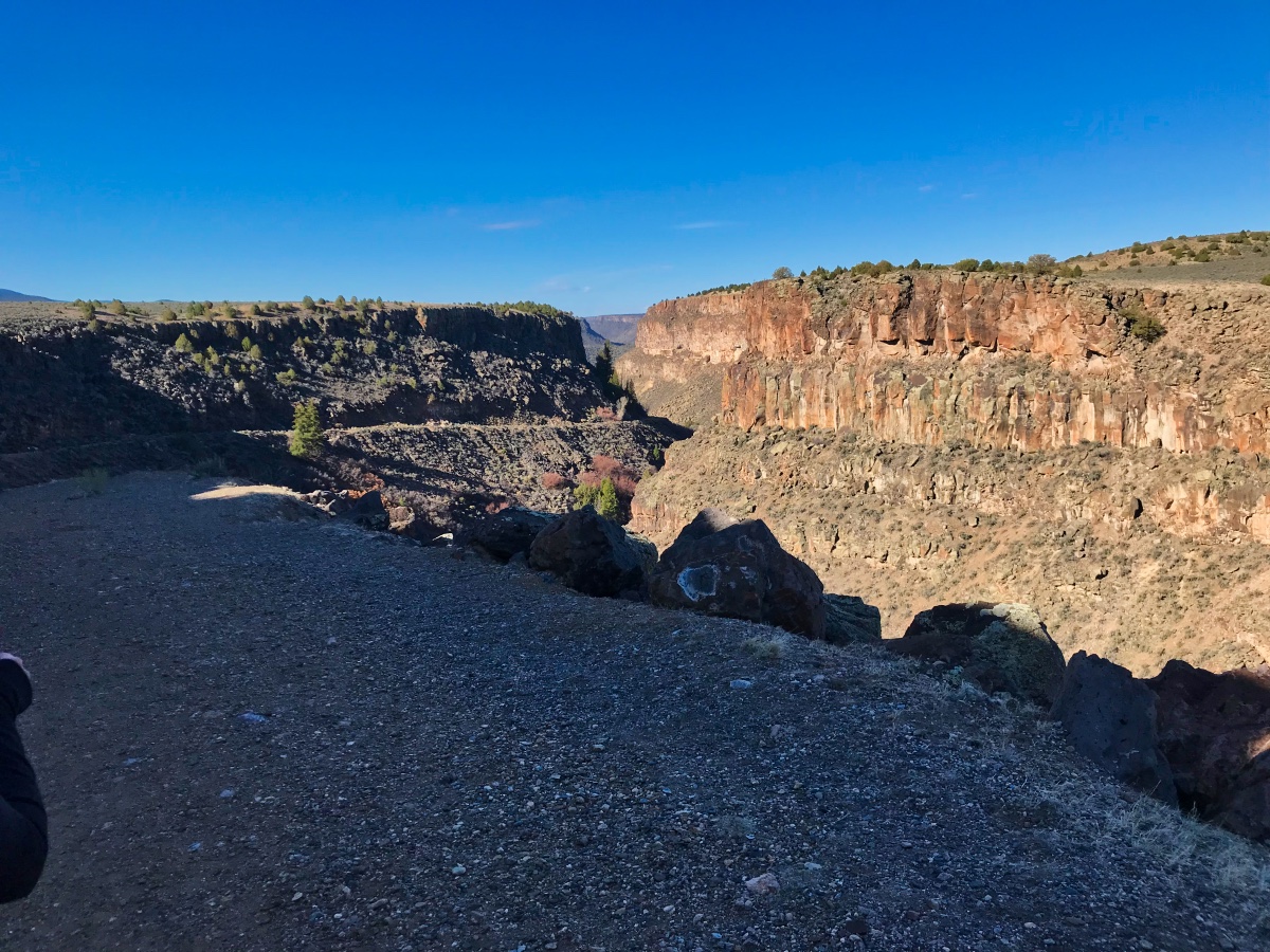
We live about 2 miles from the Rio Pueblo de Taos Gorge which, along with the Rio Grande, cuts a huge swath out of the flat desert plains of Northern New Mexico. The Slide Trail trailhead is a 5 minute drive from the house which made it very easy to start our early morning trek yesterday. Rhonda purchased Taos Hiking Guide by Cindy Brown earlier, so we had a good idea of what the difficulty level would be before we set off.

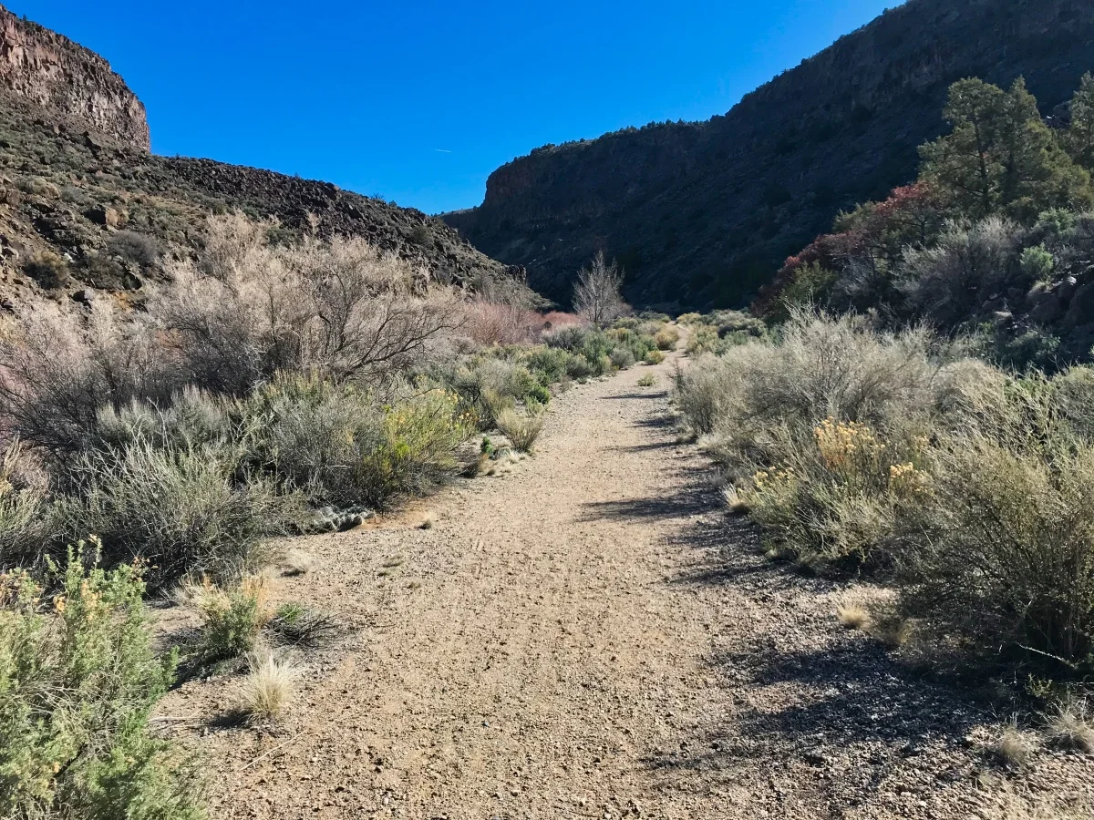
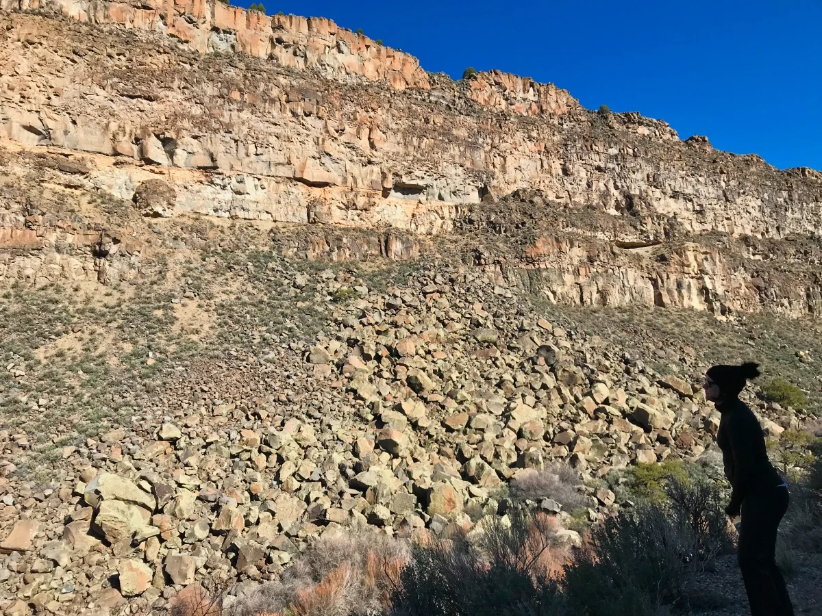
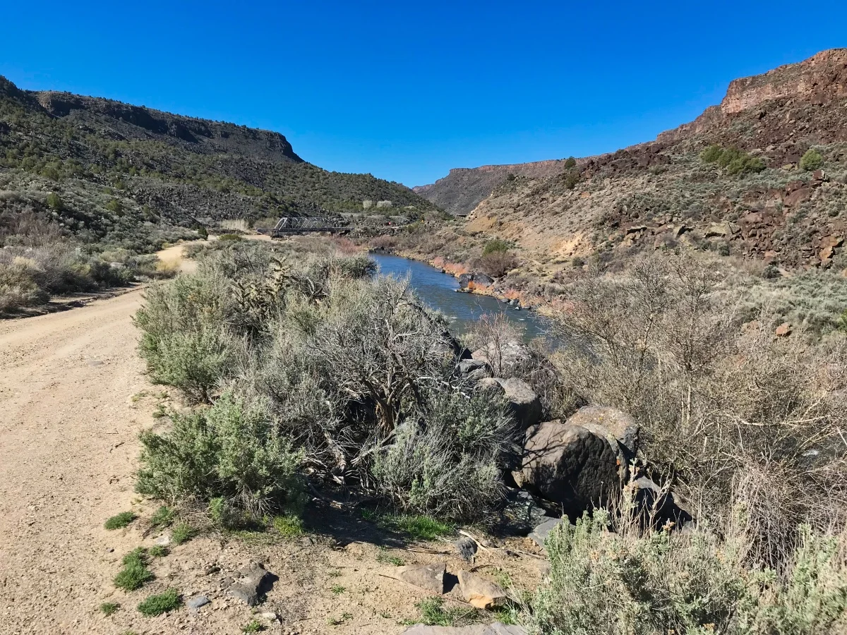
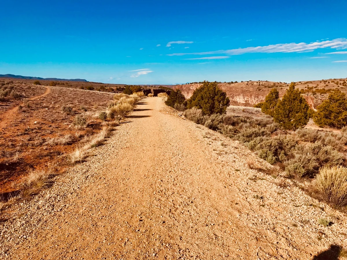
According to the book, the trail (which begins at 6,100 feet and descends 700 ft to the Rio Pueblo) is the remnants of the Old 570 Highway. It’s called the Slide Trail because “after 57,000 pounds of basalt rock fell on the road in early 1993” it was closed permanently. Little of the original road remains, but the trail is of moderate grade so most anyone can hike it. It took us about 30 minutes to hike the 1.3 miles to the bottom and 45 minutes to return.
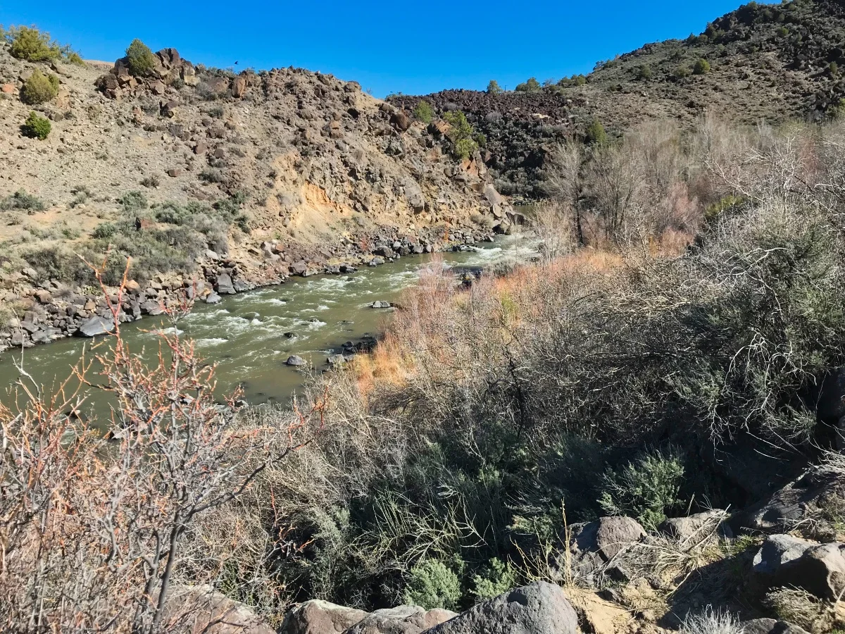
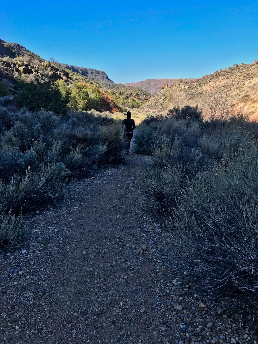
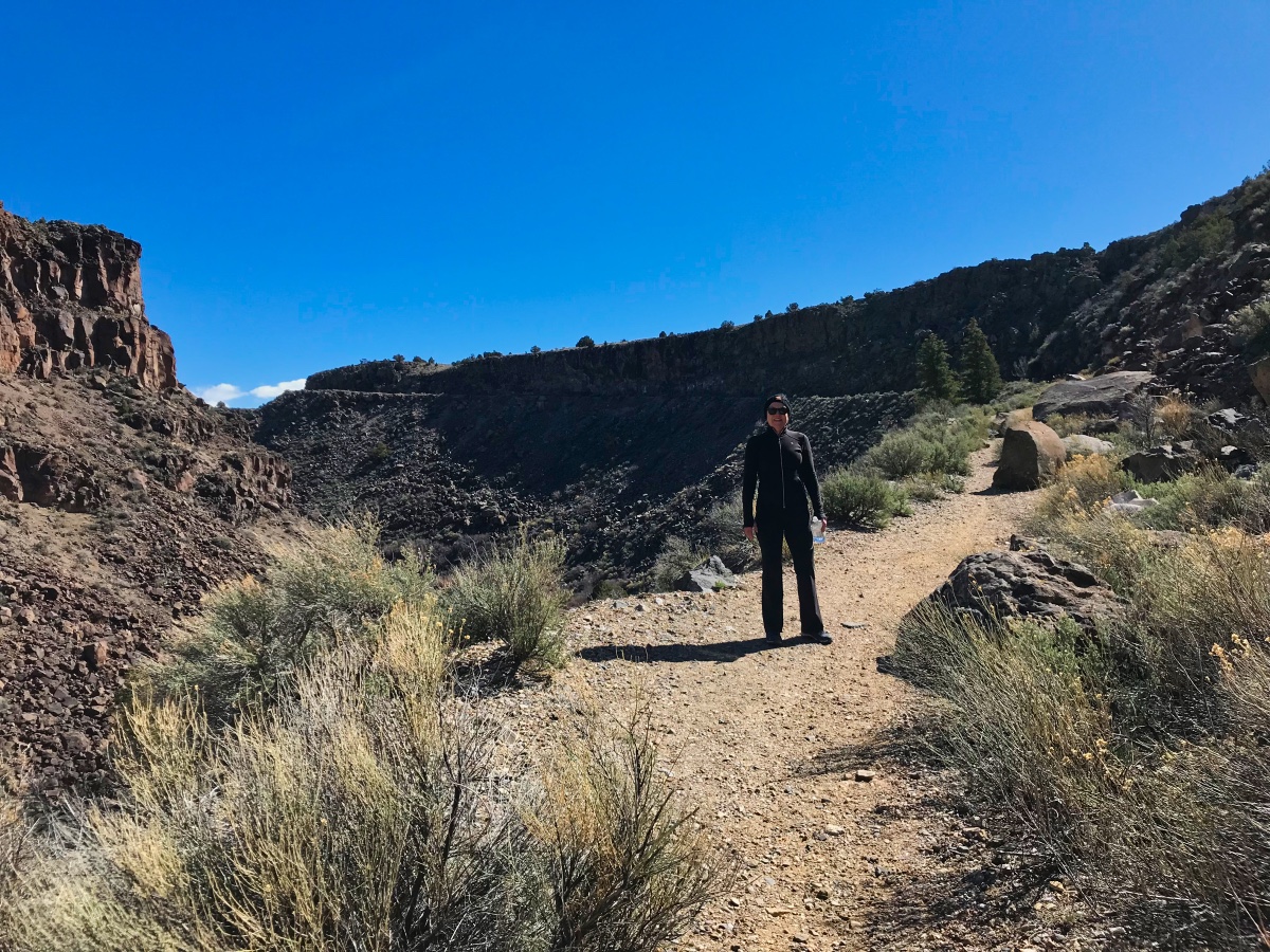
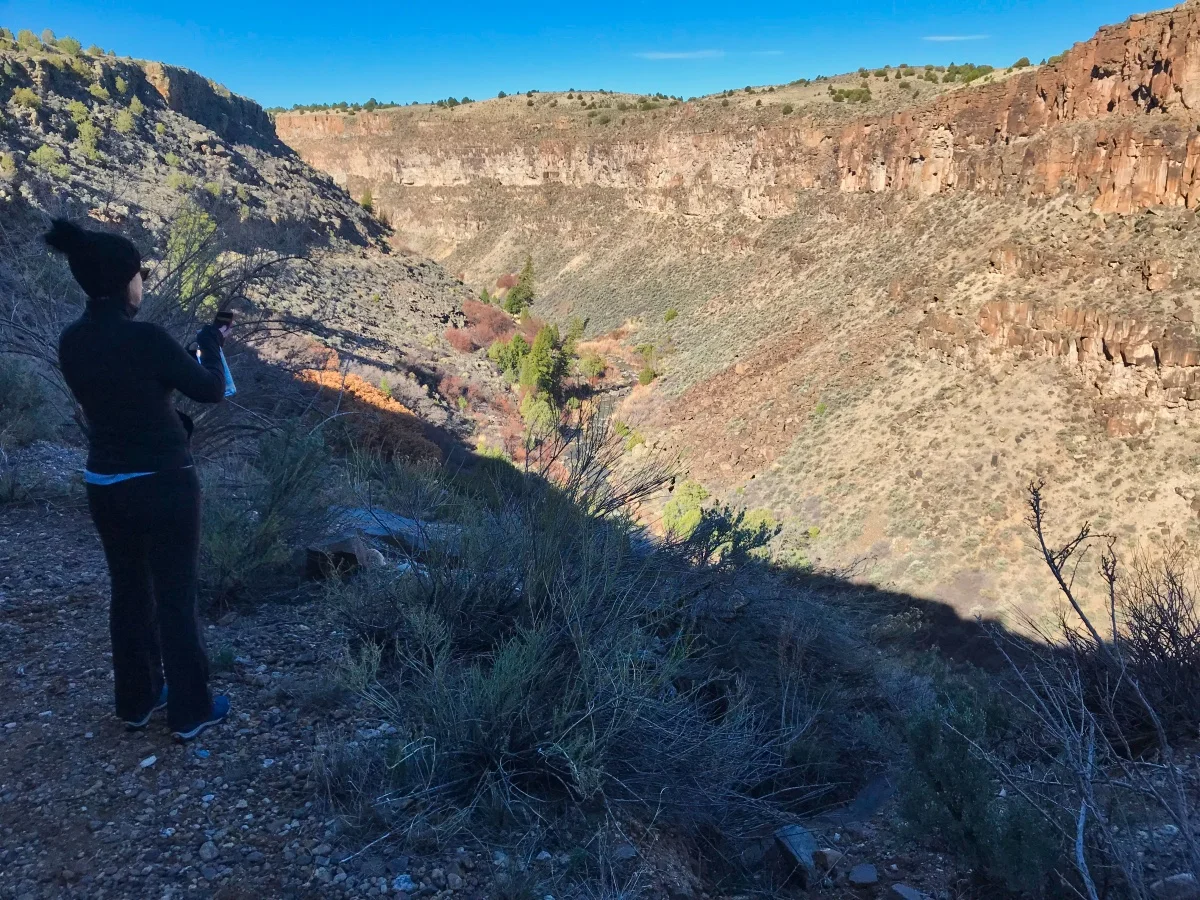
When we started the temps were hovering in the lower 40’s and it was actually a bit chilly having only worn a shortsleeved shirt and light jacket. However, by the time we made our way back it had climbed to 60 degrees. Along the way we saw a number of springs and waterfalls. The full beauty of the trail will unfold as we approach mid-spring when much of the vegetation will begin to bloom.
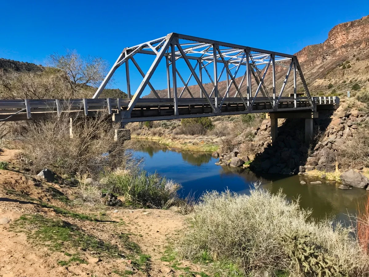
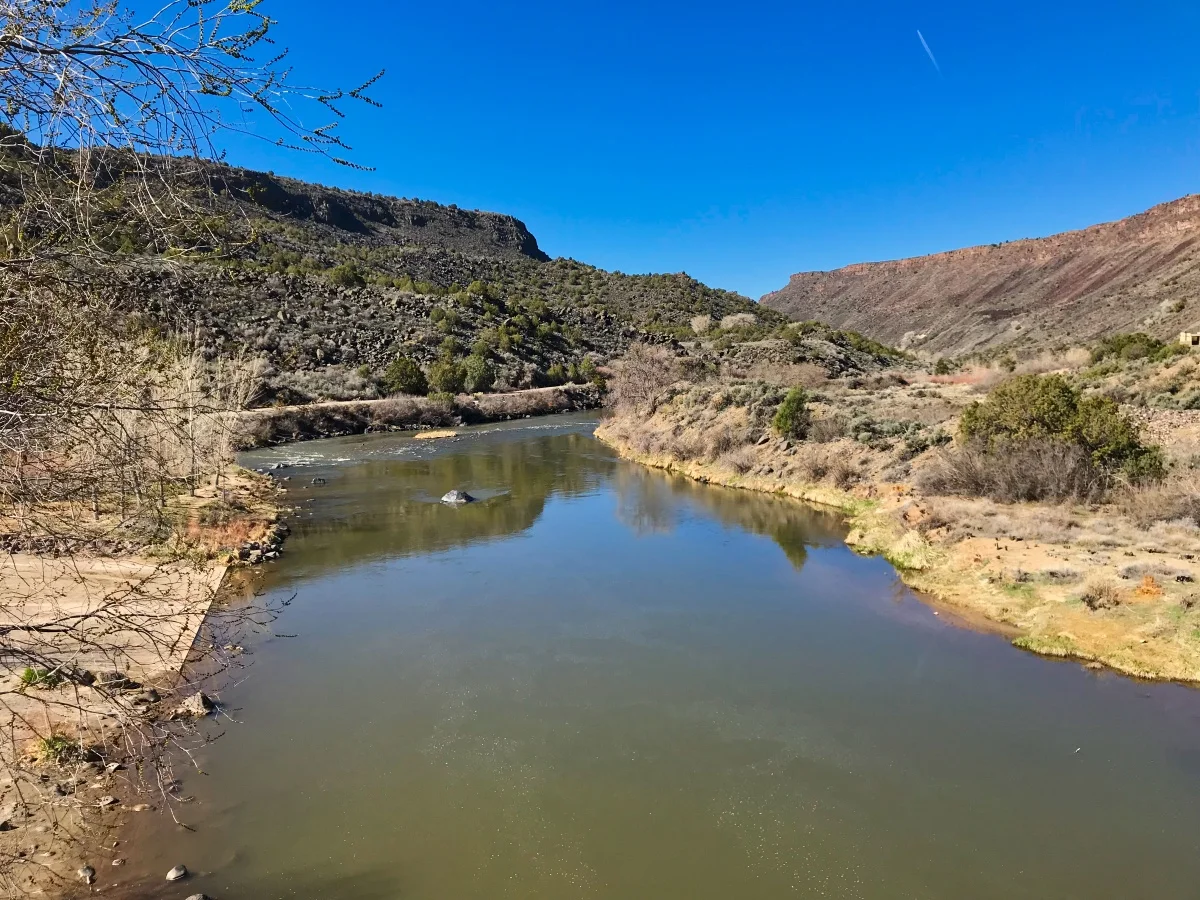
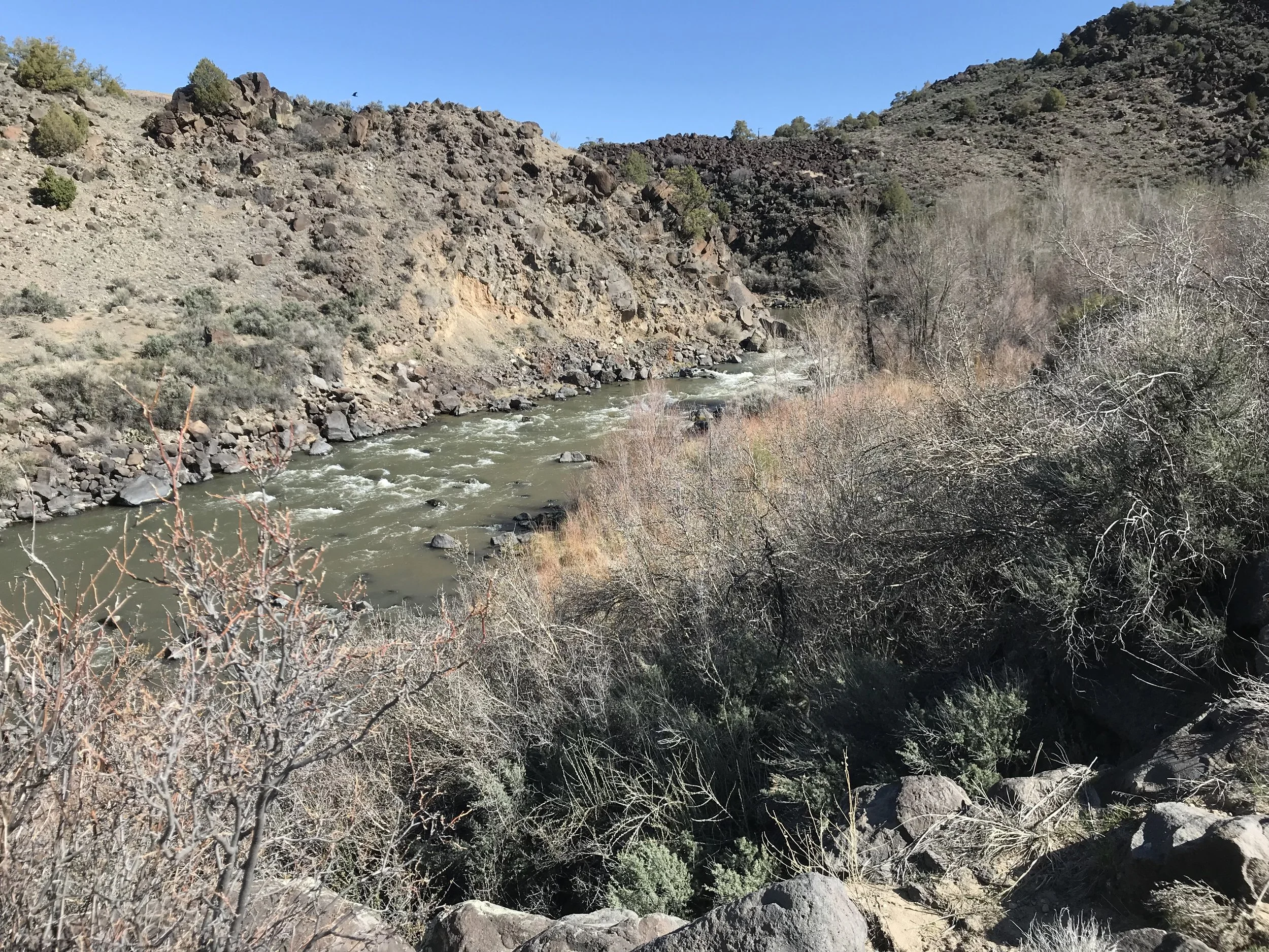
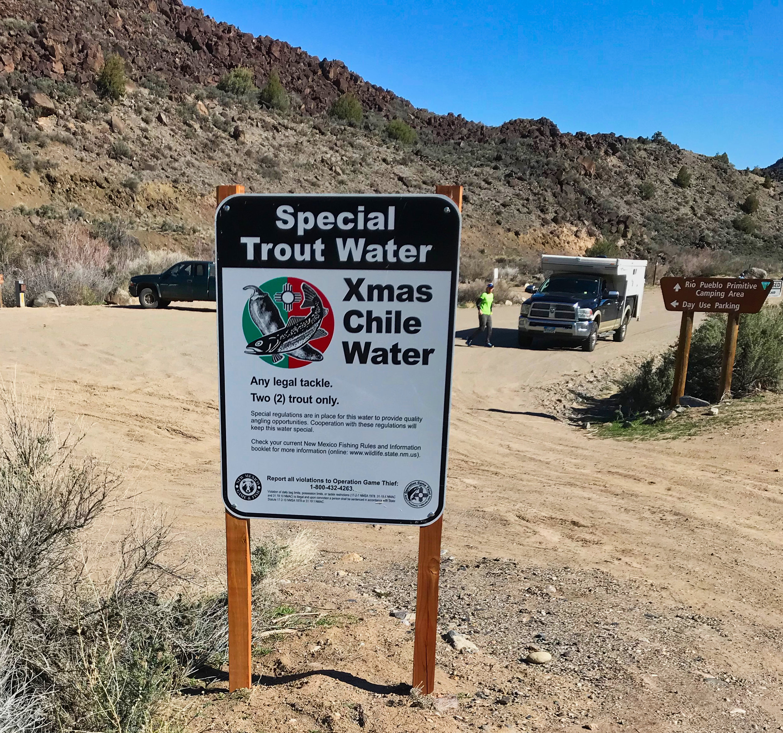
We hiked all the way to the Taos Junction bridge which has campgrounds for day use and night camping. Apparently the Rio Pueblo de Taos is stocked with trout. A two fish limit was posted close to the river in the park so that it’s not overfished.
We’re lucky to have this so close and I just might make it part of my exercise routine twice a week. It’s strenuous enough to get my heart rate up, but not over-the-top “mountain climbing”.
Who knows? Even Archie might enjoy it!
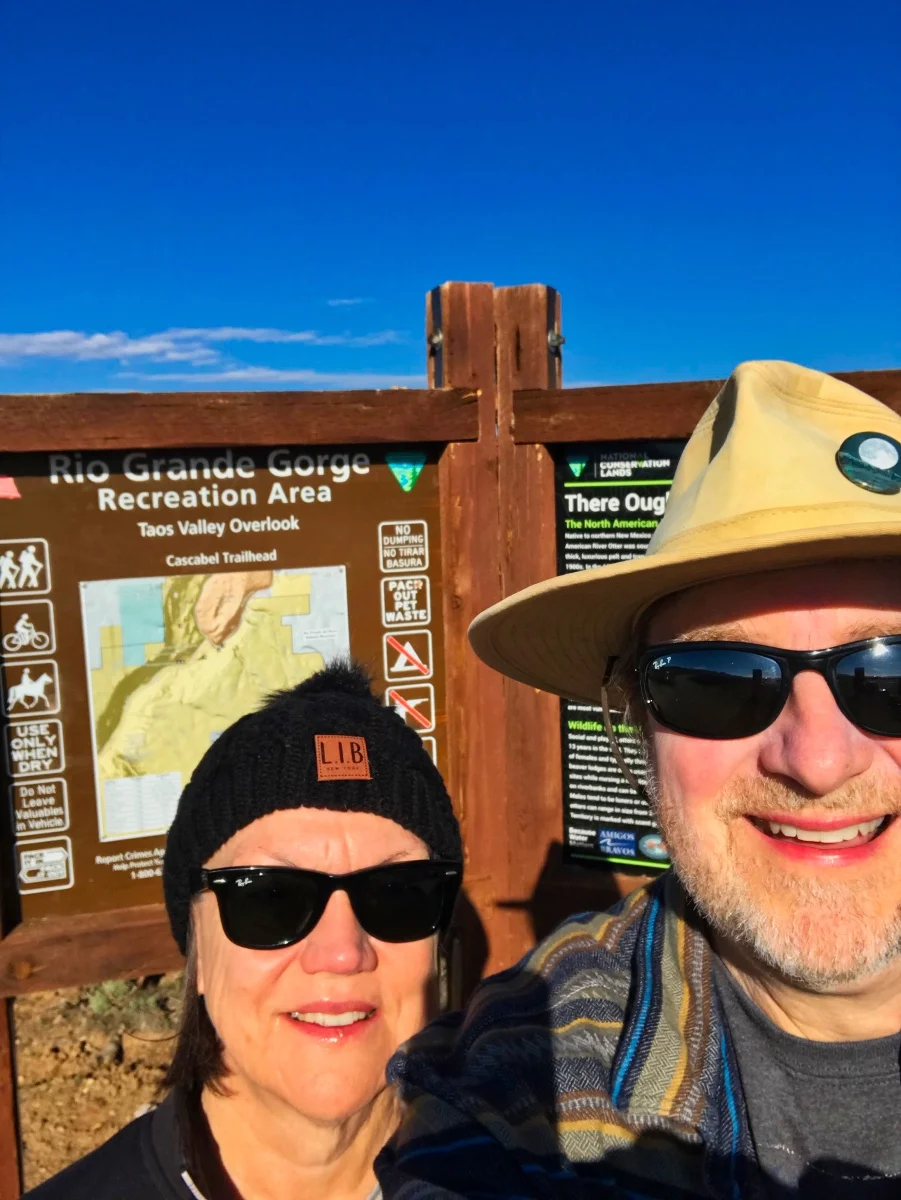
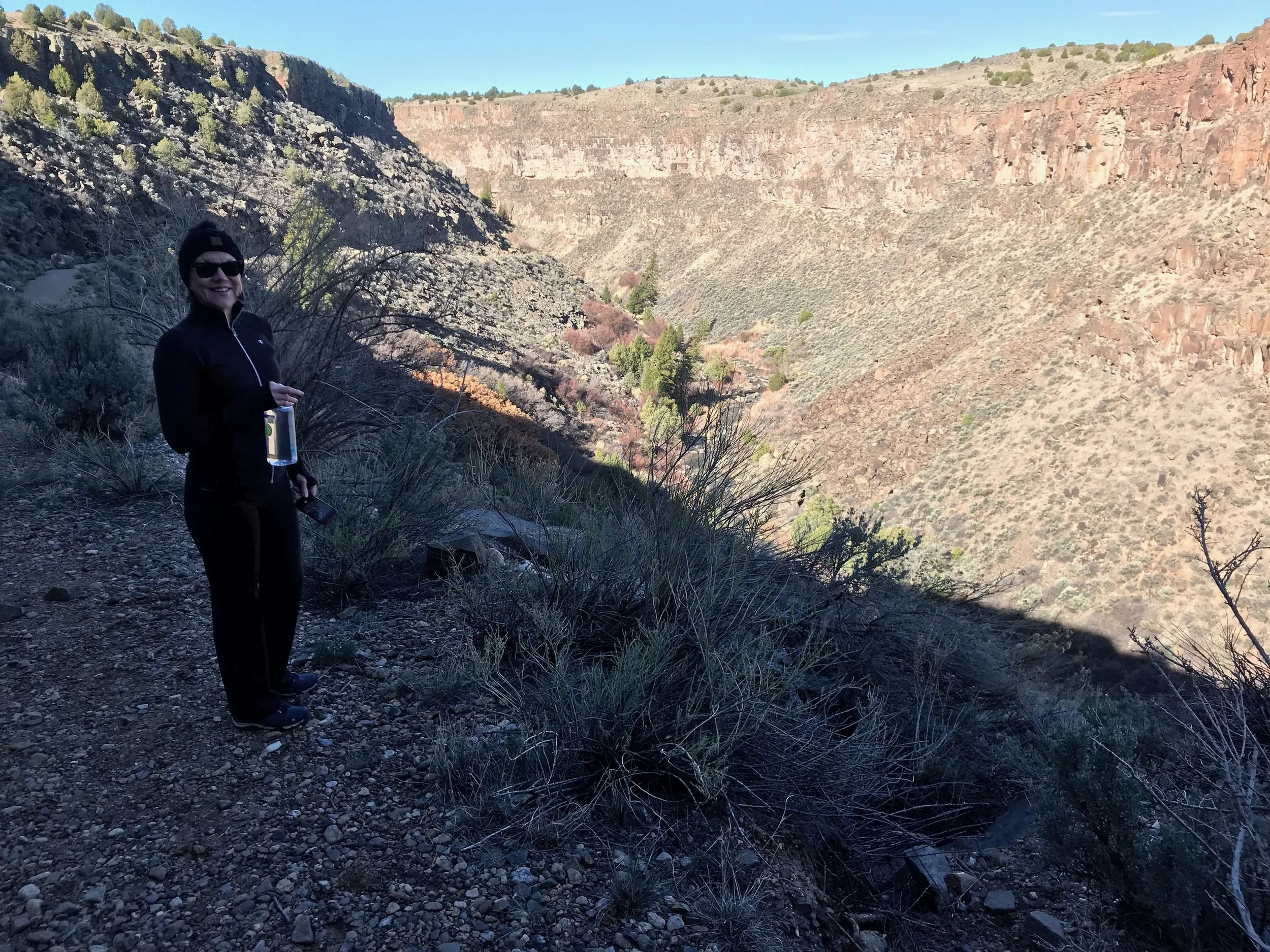
Here are more pictures from the hike: